Gantry Tool (Currently Not Available)
Coming soon
A dedicated Gantry Tool workflow in RepliMap is currently not available—documentation for that feature will be expanded here when it ships.
The Gantry Tool is used to add gantry structures to the map within the RepliMap interface.
Gantry structures are commonly used for:
- Overhead sign supports
- Traffic monitoring systems
- Highway information displays
- Road infrastructure elements
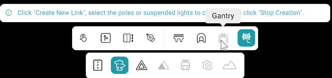
Adding a Gantry
Currently, gantries can be created in two ways:
| Method | Description |
|---|---|
| Gantry Tool | Dedicated tool for creating gantries directly. |
| Pen Tool | Gantries can also be created manually using the Pen Tool. |